
- Visit Benidorm,
- What to do,
- Active & Sports Tourism,
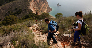
- Hiking in Benidorm,
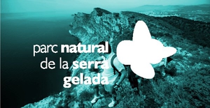
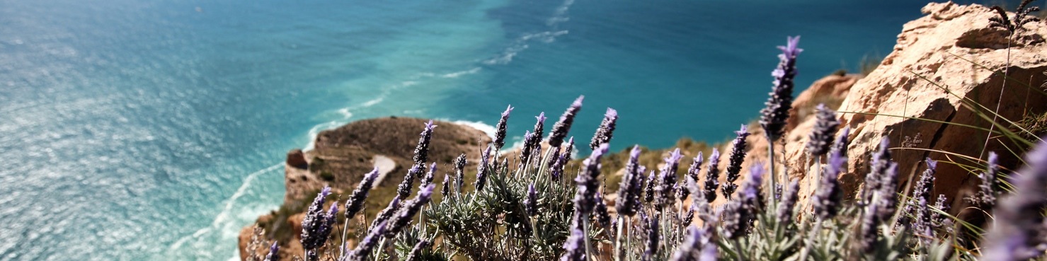
- Coves Route in Sierra Helada
Coves Route in Sierra Helada
Easy
We start the tour at the end of the Levante beach (1), on the sloped road leading to the hotel Benikaktus on the street Alcalde Manuel Catalan Chana.
Via the paved road, we will proceed straight up, passing to the left the route to the cross (route 2, yellow) and proceed until we find a detour (2) which descends to the viewing point of the Punta Llisera and Tio Ximo Cove.
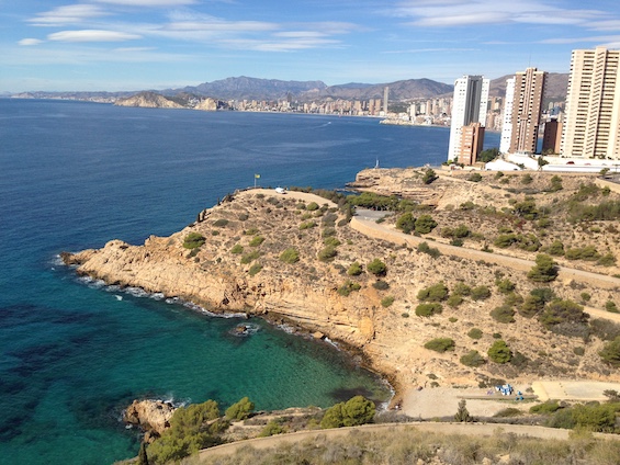
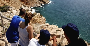
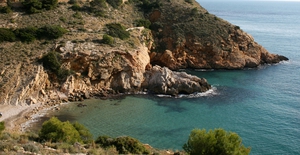
"Cala Tio Ximo": We find ourselves at a quiet Mediterranean cove relatively remote from the bustling beaches of the town centre.
Along the cove we see observe the old ocher mines (4), where, not long ago, Tio Ximo worked with his donkeys.
Watchtower: back on the road and to the right hand side access a road with restricted to motor vehicles (3), where we will go to the Punta del Cavall, where there is a seventeenth century watchtower (5).
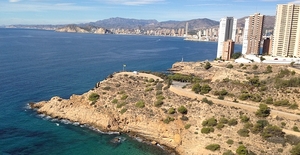
From here there are some of the best views of the cliffs of the Serra Gelada and very close to them,Illa Mitjana.
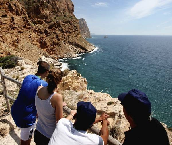 Both here and the Punta Bombarda in Albir, are excellent vantage points, hence why in medieval times, the watchtowers were built to alert the public of the presence of pirates.
Route 3. "Punta del Cavallo" or "Punta de la Escaleta"
Length of route: 8,7 km (round trip), plus the 700 m of Ti Ximo Cove.
Duration: From 2h to 2h 30 min Maximum Elevation: 75 m
Accessibility: Road paved.
Hiking. Cycling. Wheelchairs.
Difficulty: Easy